Location
southern Shaanxi, at the junction of Gansu, Shaanxi and Henan
A range across the very heart of China, dividi...
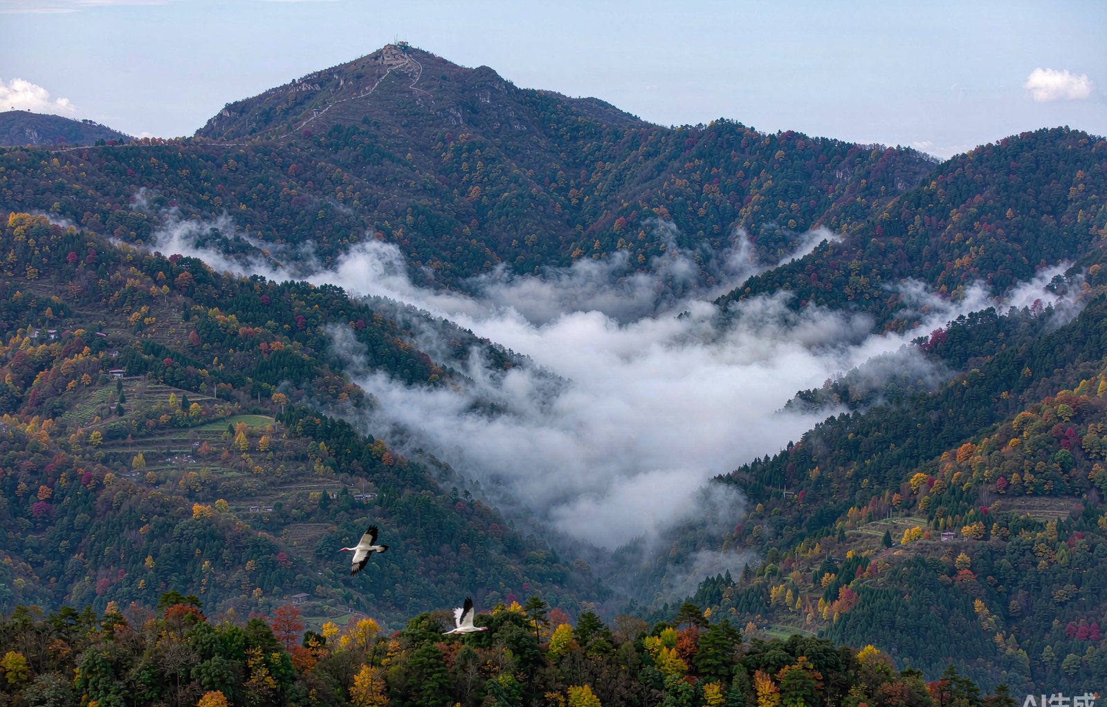
A range across the very heart of China, dividing south from north — in climate, produce, custom, and the very temperament of civilization. The Qinling is China's north–south geographical divide; its main peak, Taibai, rises 3,771 meters, and the range is called the "central water tower." The crested ibis, giant panda, golden snub-nosed monkey and takin — the "four treasures of Qinling" — live here, and the ancient plank roads and the Chencang route are carved with history.
The Qinling–Huai River line is China's most important geographical boundary: north of it, a warm-temperate semi-humid climate and waves of dryland wheat; south of it, the humid subtropics and the fragrance of paddy rice; the January 0 °C isotherm and the 800-millimeter isohyet both follow it. The great mass of the range blocks the Siberian cold air moving south and catches the warm moist air moving north — sheltering both the "land of abundance" of the Sichuan Basin and the "land of fish and rice" of Hanzhong.
The Qinling divides the Wei River, a Yellow River tributary, from the Han and Jialing rivers, both Yangtze tributaries, and conserves the water sources of the South–North Water Diversion's central route — hence "central water tower." Its vertical vegetation zones are complete and forest cover exceeds seventy percent. In the 1980s, seven wild crested ibises — then the last in the world — were found at Yaojiagou in Yangxian County; the population now exceeds ten thousand, one of the most successful endangered-species recoveries on earth. The Qinling subspecies of the giant panda, round-faced and short-muzzled, is a lineage of its own.
云横秦岭家何在?雪拥蓝关马不前。 — "Clouds cross the Qinling — where is home? Snow banks Lan Pass, and my horse will not advance."—— Han Yu, "Demoted and Bound for Chaozhou, Shown to My Grand-nephew Xiang at Lan Pass" (Tang dynasty)
"Openly repair the plank roads, secretly cross via Chencang" — the Chencang, Baoxie, Tangluo and Ziwu roads bored holes in sheer cliffs and laid timbers to link Guanzhong with Ba-Shu. The Baoxie road's Stone Gate is among the world's earliest hand-cut traffic tunnels, and the "Thirteen Stele of the Stone Gate" cliff inscriptions are treasures of calligraphy history. Han Yu's grieving gaze — "clouds cross the Qinling, where is home?" — and Du Fu's verses on the road's perils are both engraved in the memory of this north–south corridor.