Rivers and ranges are more than scenery: they are the geographic skeleton that shaped the course of Chinese civilization, drawing its borders and its lifeblood.
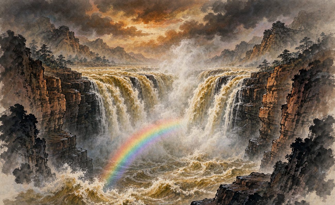
The mother river of Huaxia: its loess and silt nurtured the earliest dynasties and shaped the Central Plains.
Here the Yellow River narrows into a spout (hukou), three hundred metres of water plunging into a thirty-metre channel with a roar like thunder. It is the inspiration for the Yellow River Cantata and a living image of the Chinese temperament.
The cradle of Chinese civilization, shaping the Central Plains and linking the civilizational core from Xia, Shang and Zhou to Qin and Han.
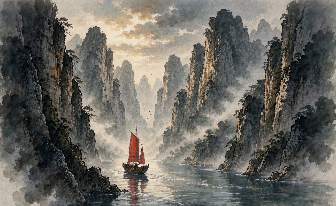
A river of life crossing the continent from west to east, nourishing southern civilization and, with the Yellow River, holding up the Huaxia world.
Qutang is the grandest, Wu the most graceful, Xiling the most perilous: a 193-kilometre corridor of gorges that Li Bai passed through in a light boat, and through a thousand years of poetry. It is the soul of the Yangtze and the birthplace of China's landscape poem.
One of the two great mother rivers of China, carrying rice-growing civilization and linking Ba-Shu, Jing-Chu and Jiangnan.
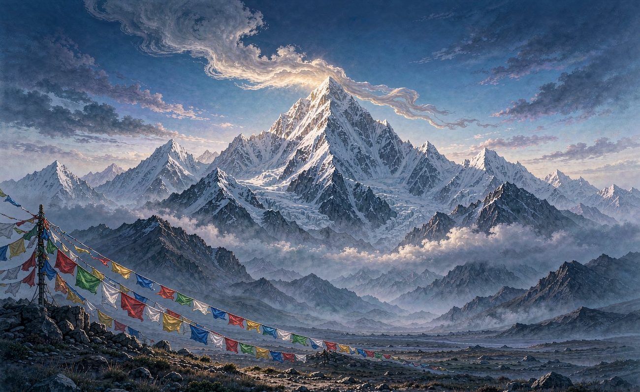
The water tower of Asia: a rising plateau remade East Asian terrain, gave birth to great rivers, and shields the Chinese southwest.
8,848.86 metres, the highest point on Earth. In Tibetan, Qomolangma means “Mother Goddess of the Earth.” Its north face lies in Tibet, where Rongbuk is the highest monastery in the world and the Milky Way hangs clear above base camp.
The Qinghai-Tibet Plateau, source of many great Asian rivers, profoundly shaping the climate and civilization of East Asia.